In Alto, the property is the listing
Alto sits in the rural southeast corner of Kent County, where the subdivisions of Caledonia and the historic streets of Lowell give way to open country. The inventory here is acreage: hobby farms, equestrian properties with barns and pasture, ranches on five and ten acres, and custom homes set back off the road with a pole barn out behind. On these listings, the house is only part of what sells — the land, the outbuildings, and the privacy are the rest of it, and they are exactly what a ground-level photo cannot show. A buyer scrolling Zillow needs to see how much property comes with the home before they will drive out to Alto to look.
Elzinga Creative Studio is built for that. Bright HDR interiors that make a country home feel warm and current, honest exteriors, and FAA Part 107 drone aerials that show the acreage, the barn, the pasture, and the lot lines from above. Every gallery is delivered within 24 hours, so an Alto listing hits the market while interest is fresh.
Pricing for Alto listings
For acreage and equestrian listings, Signature ($525) builds in the drone aerials that show the land and outbuildings. On smaller in-town lots, Essential ($245) covers it — add aerial to Essential or Showcase for $125. A 3D virtual tour (Zillow 3D Home or Matterport-style) is a $100 add-on to any tier. See full breakdown.
What we shoot in Alto
- Acreage and country homes — drone aerials that show the full lot, the setback, and the privacy buyers are paying the premium for
- Equestrian and hobby-farm properties — barns, arenas, pasture, and fence lines shot from the air so the working side of the property reads clearly
- Pole barns and outbuildings — interior and exterior coverage of the shop or barn that often closes the sale for the right buyer
- Ranch and custom homes in the Lowell and Caledonia school zones — bright HDR interiors that make a country house feel move-in ready
- Updated and new-build homes on larger lots — clean sets that let the finishes and the land justify the price together
Why drone is non-negotiable here
On an Alto acreage listing, the most important image is the one taken from two hundred feet up. A drone aerial answers the buyer's first question — how much land is this, and what is on it — before they ever click to the next photo. It shows the barn relative to the house, the pasture relative to the road, and the privacy relative to the neighbors. ECS aerial is flown by an FAA Part 107 certified pilot, built into the Signature tier and a $125 add-on on Essential or Showcase. For when aerials earn their keep on a given listing, see the guide to real estate drone photography.
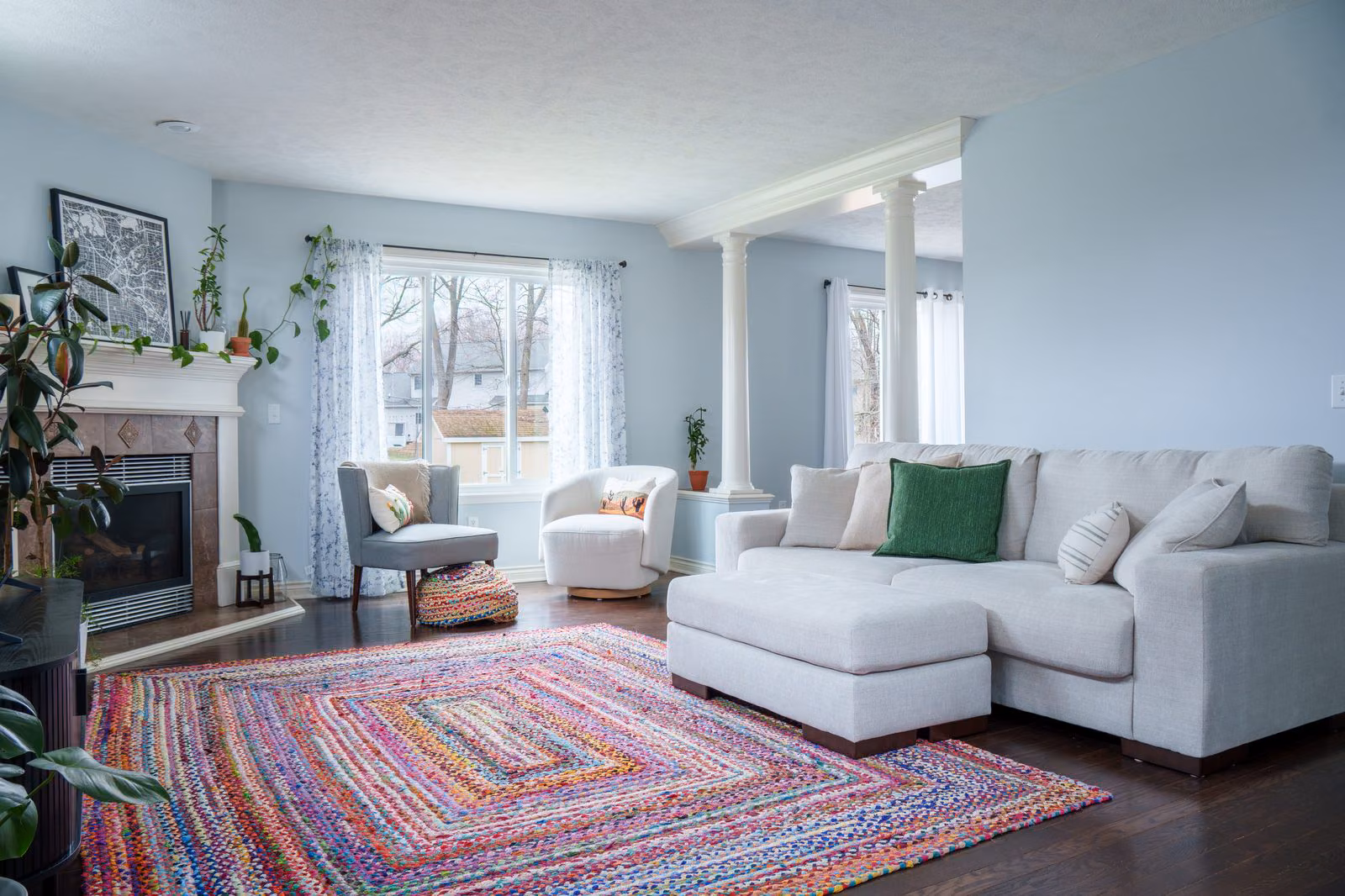
Bright interiors still matter on acreage
Land gets the click, but the inside has to hold it. Country homes are often shot dim and yellow, which makes a perfectly good house look dated next to a clean listing down the road. Properly exposed HDR makes the same rooms feel bright, open, and current — worth the drive out from the metro. For the technique behind it, see flambient vs HDR real estate photography and how many photos a listing actually needs.
Volume pricing for rural and acreage specialists
If you list acreage and country properties across southeast Kent County every month, the Preferred Photographer Program is built for you: standing three-tier pricing, priority calendar access, House Photographer status after your second shoot, and a $50 referral credit per agent you bring in. No contract, no minimums — just one consistent look and dependable drone coverage across every Alto, Lowell, and Caledonia listing you take.
How to book an Alto listing shoot
- For agents listing regularly: join the Preferred Photographer Program — standing 3-tier pricing, priority calendar, $50 referral credit.
- For one-off listings: book on the main real estate photography page.
- For a free critique first: submit a free listing photo audit — 48-hour video back, no commitment.